There is also the Trans Alpine train which we didn’t take because it is very expensive.
As in most of the places the railway is close to the road, we think that the view from the train is not much different to the view from the road. We think that this was the right decision. We saw the train passing by and it was quite empty.
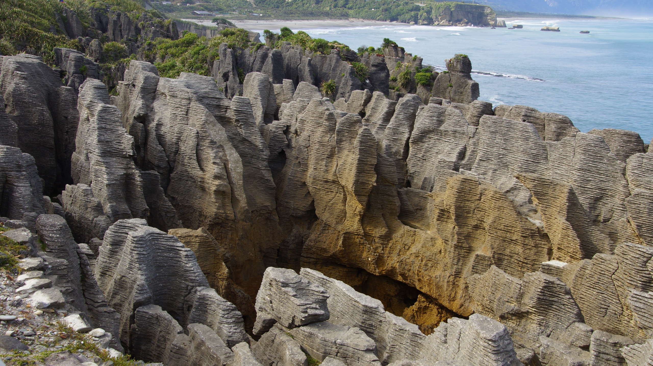
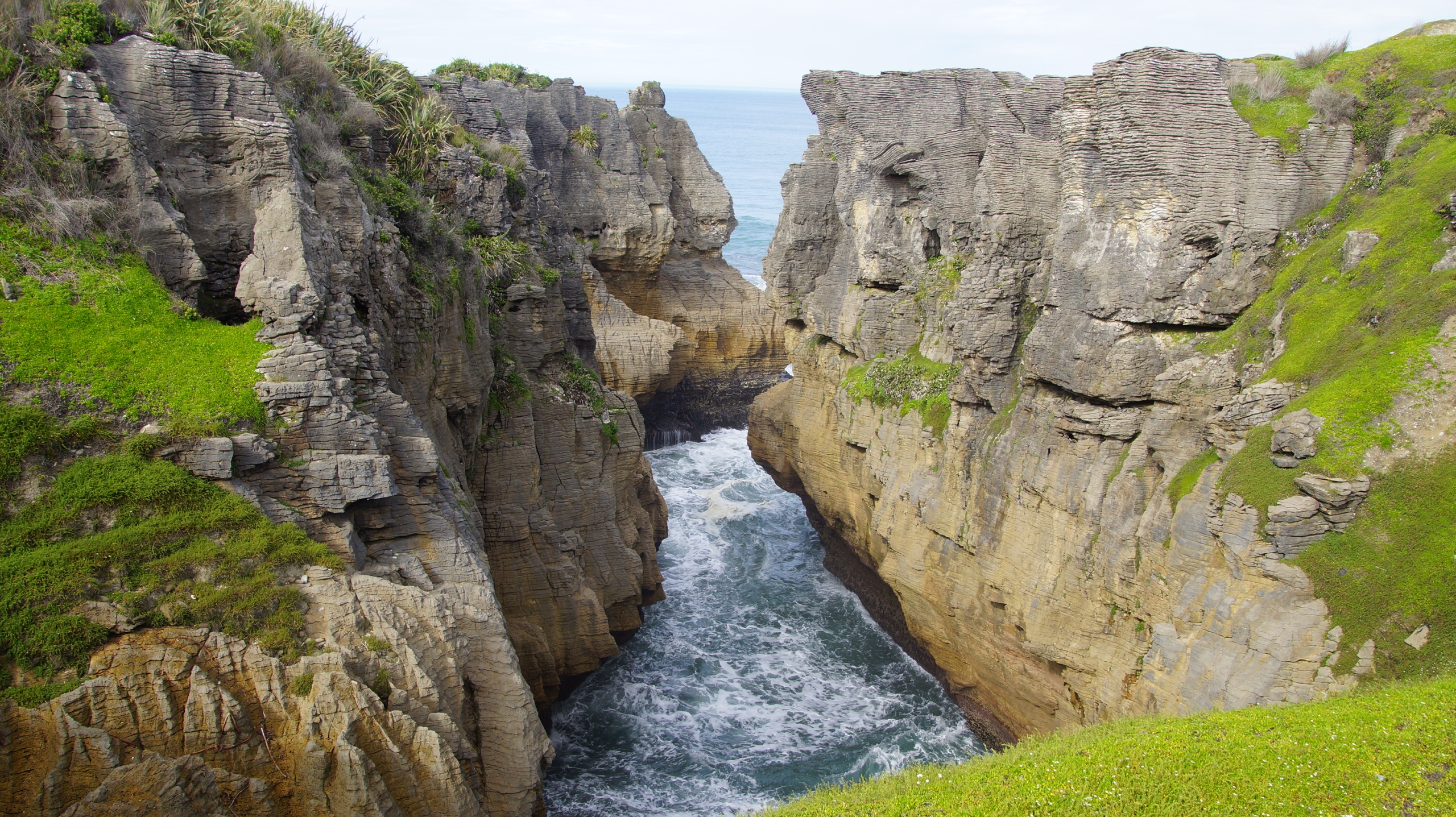
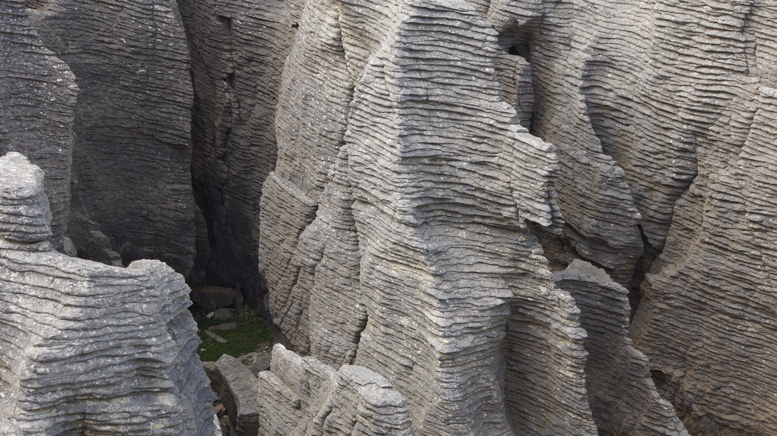
Next morning we headed towards the Abel National Park. Underway the obligate stop at the Punakiki Pancake Rocks. These are limestone formations that began forming 30 million years ago, when lime-rich fragments of dead marine creatures were deposited on the seabed, then overlaid by weaker layers of soft mud and clay.
The seabed was raised above sealevel by earthquakes to form the coastal cliffs and coastline. The sea, wind and rain have since etched out the soft layers to form the unusual rock formations we see today. eavy ocean swells thunder into the caverns beneath the rocks and huge water spouts blast skywards through the blowholes in a truly spectacular sight. Best time to visit the rocks is by high tide when the sea surges into caverns an boom trough the blowholes. We visited the rocks and tried to be ahead pf a large group of Chinese tourists who occupied the best observation points and took pictures with huge tablets. Afterwards we had a look at the Visitor center, drank a cappuccino and continued the drive on the spectacular coastal road.
We arrived at Motueka, the most important city close to Abel Tasman National Park and went (of course) to the i-site. There we found out that it is quite sophisticated to understand how things work in Abel Tasman NP.
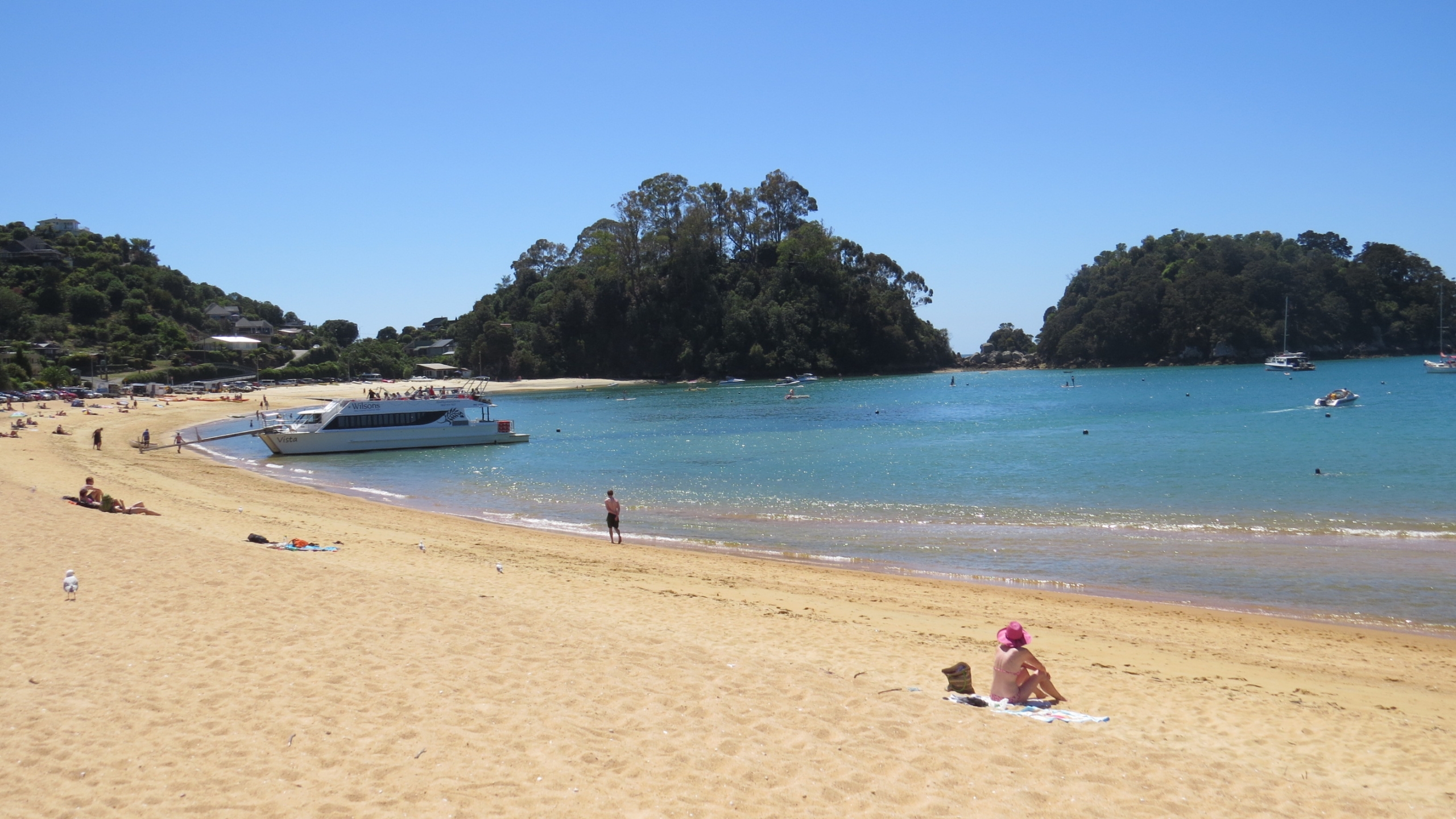
The only access to it by car/bus is from Kaiteriteri in the south (close to Motueka) and from Pohara in the North. Between these two points you can only hike or take a boat. And the boat tickets are quite expensive. It quite a while until we figured out how we can do what we wanted to do: go be boat from Kaitertrei (the main point) to A hike 2-3 hours to B and then take the boat from B to come back to Kaiteriteri. The next day we bought a three day pass from the company called Wilson and took the boat to the point called Tonga Quarry.
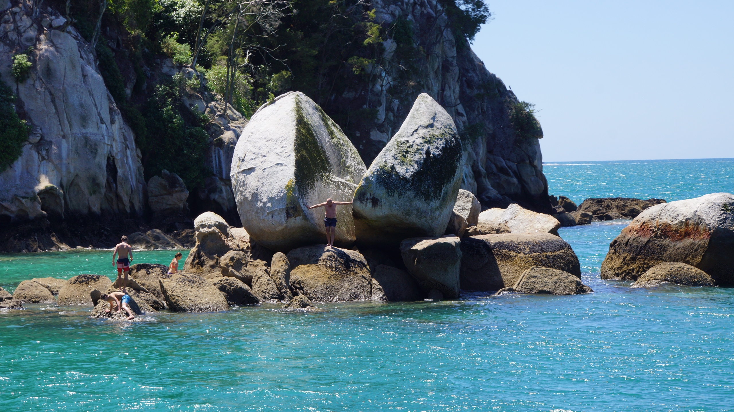
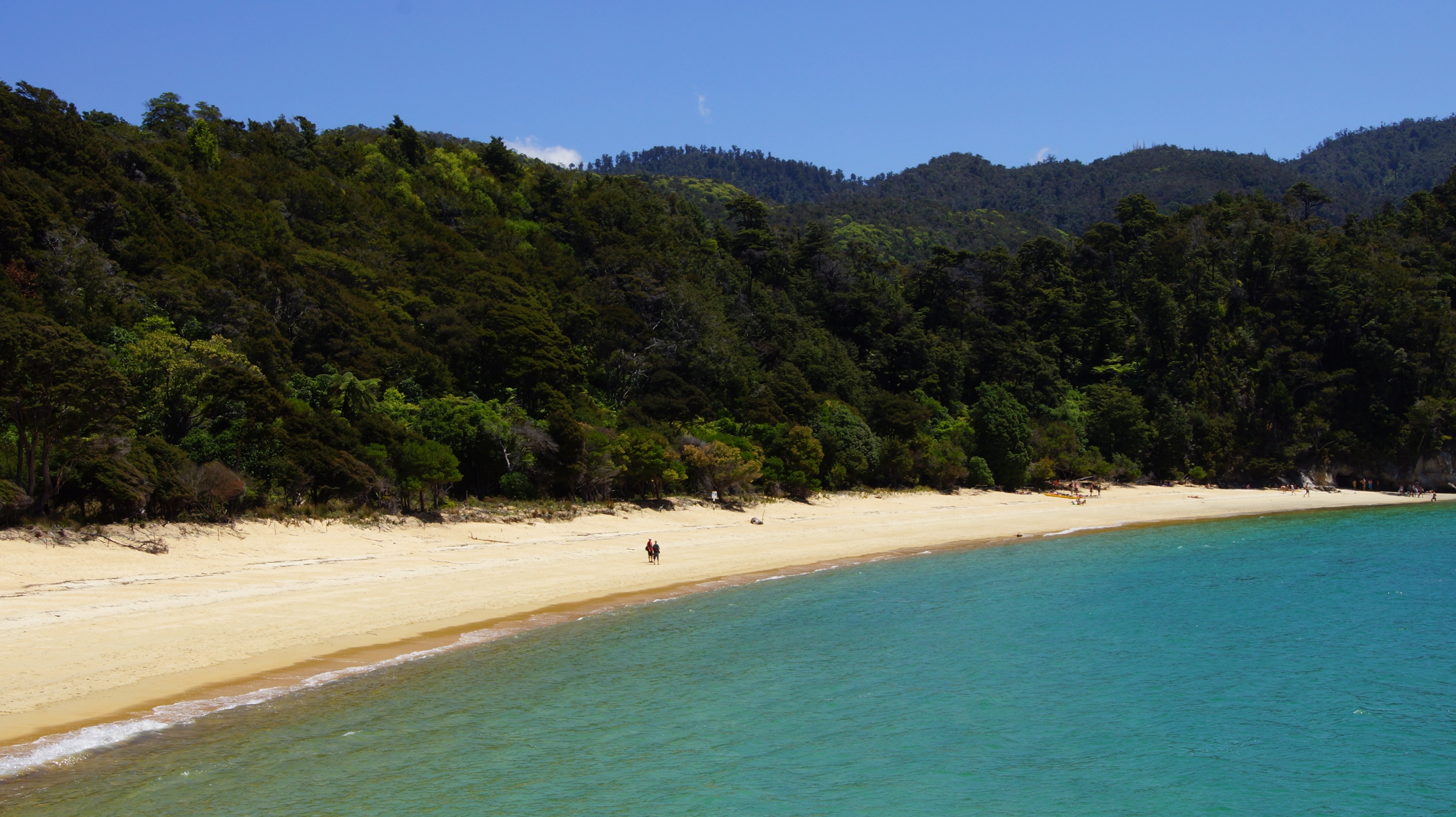
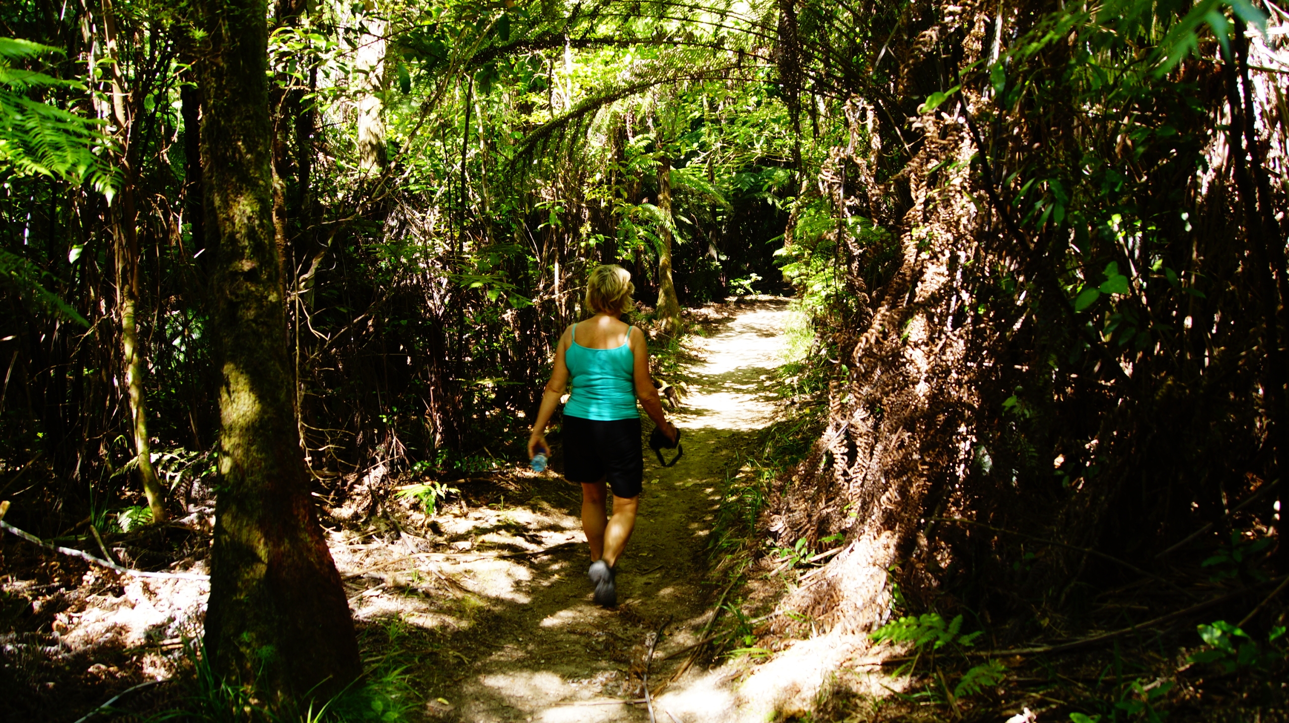
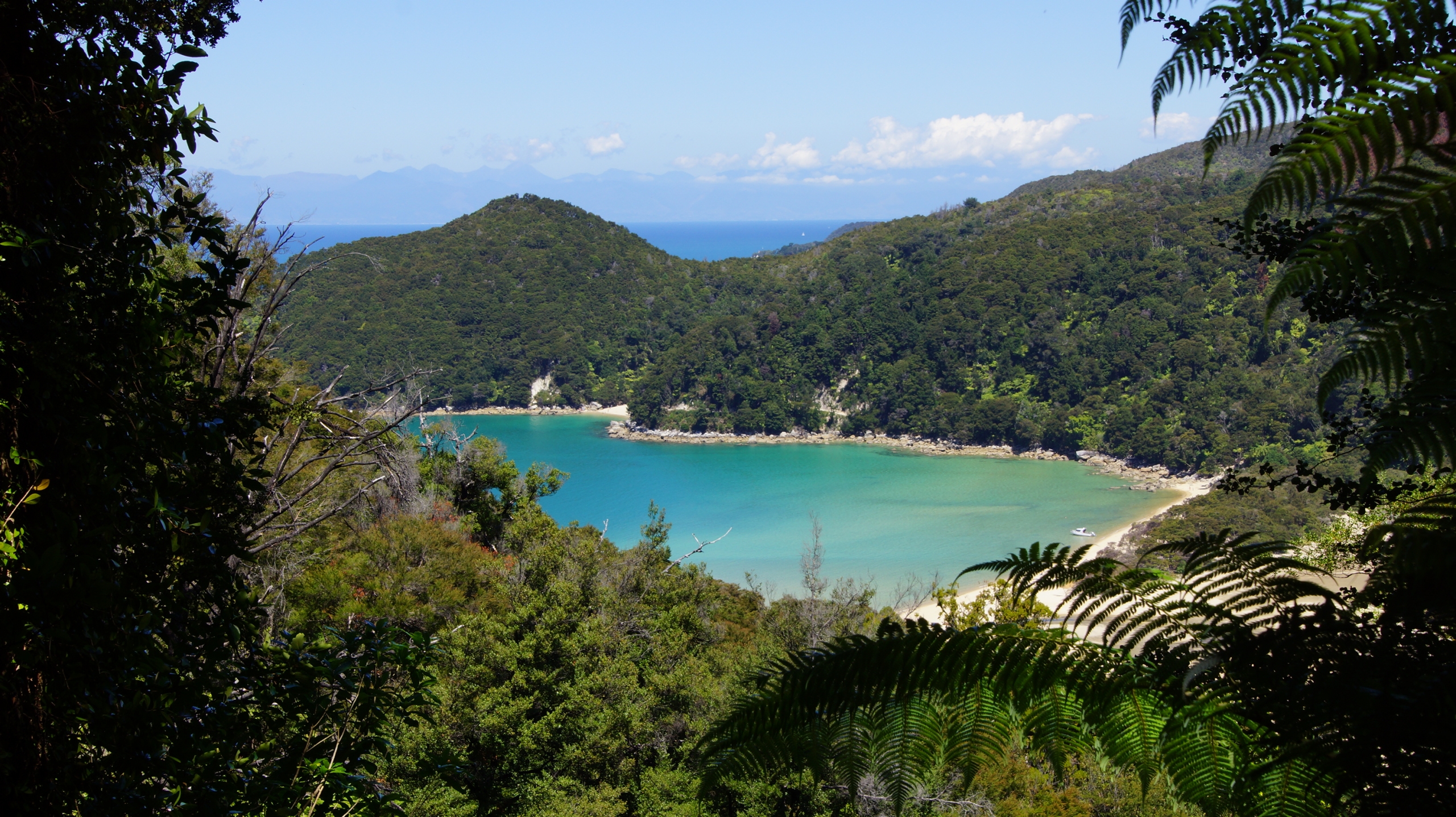
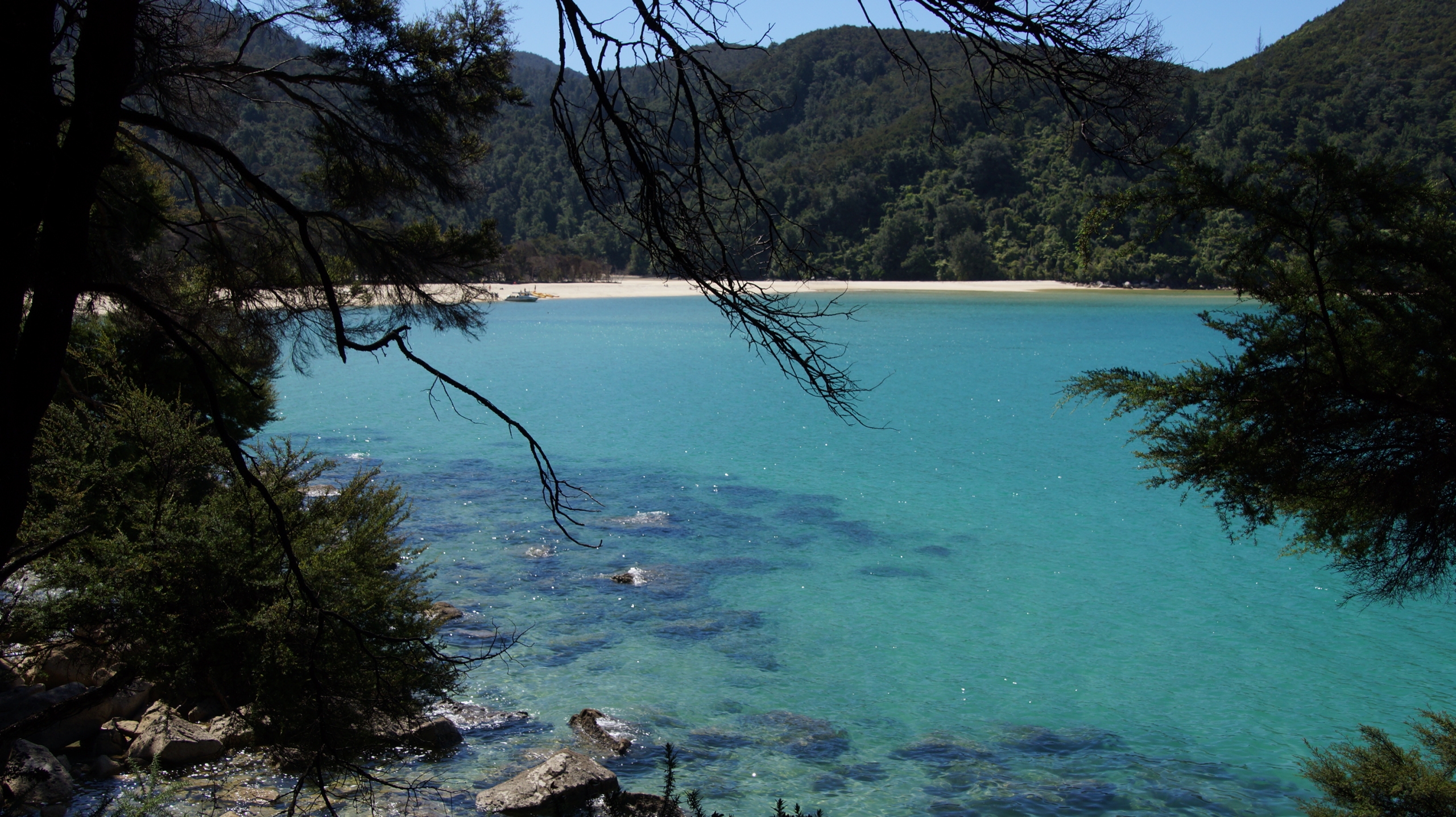
The Abel Tasman NP is covered in native bush, interlaced with walking tracks and surrounded by clear blue/green seas and welcoming bays with golden sand.
Passed by boat several bays and beaches in alternation with some forests and cliffs. Eventually got off the boat on a sandy beach and then hiked through a forest close to the shore for ca. two hours before arriving to next sandy beach where other 20 people were waiting for the boat to pick us up. Everything very relaxing an no hassle at all! The hike was very easy. The water is so turquoise that you could think you are in the Caribbean.
The other day we went by boat from Kaiteriteri to Torrent bay and then we hiked to Anchorage. The last part of the walk was on the shore which during low tide was not covered by water. Then a boat picked us up and we got off at Kaiteriteri where we had a wonderful swim in the sea. Gorgeous!
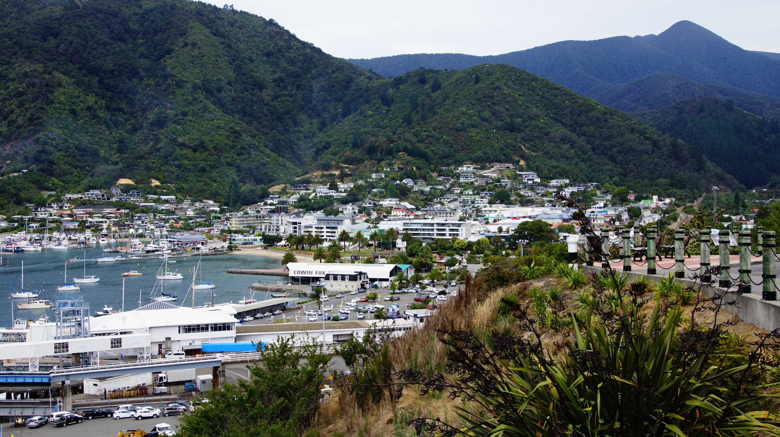
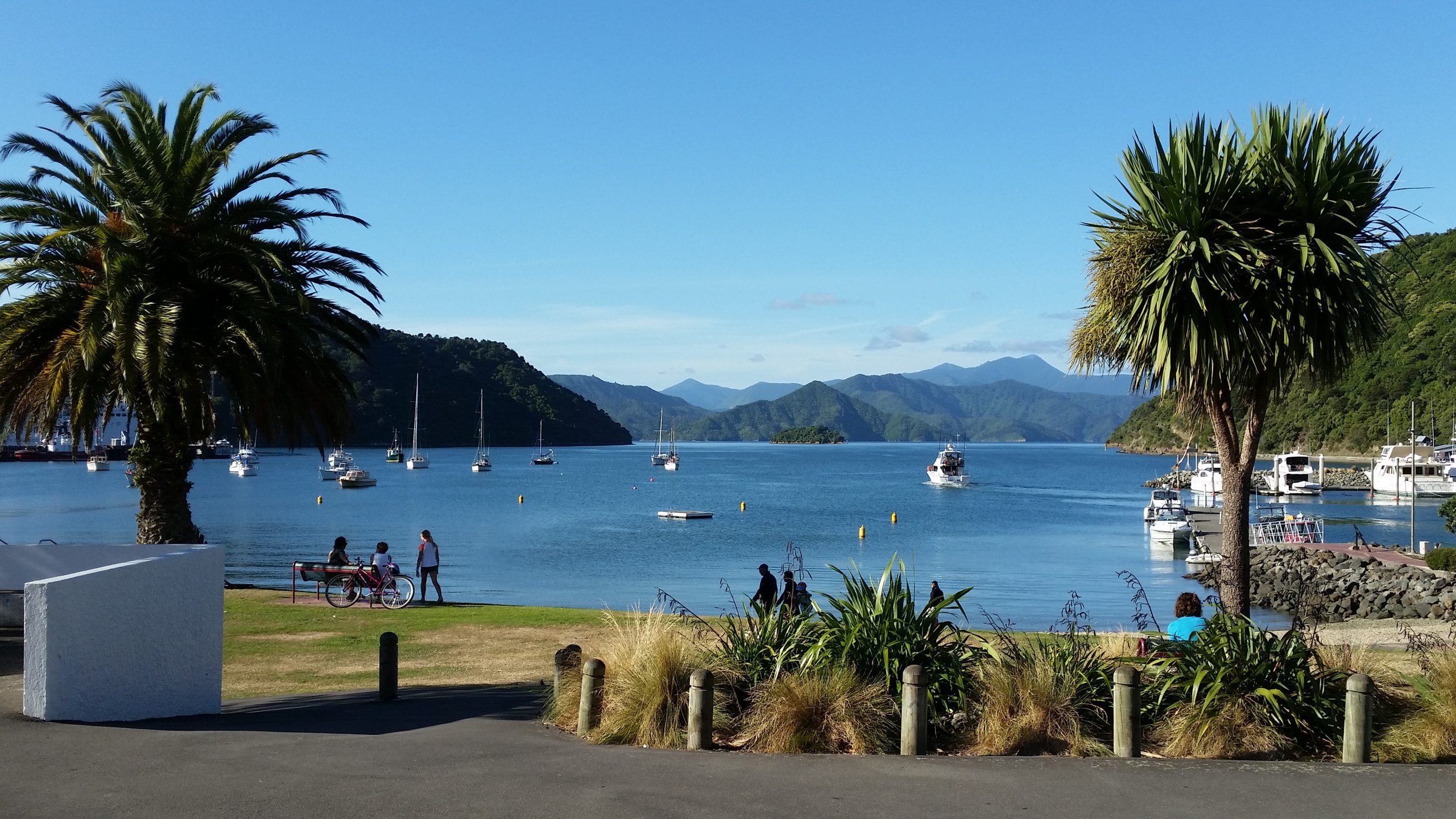
Our last stop on Southern Island was Picton. Picton is a small city but it is the main port for transfer to North Island and also the best base for tackling the Marlborough Sounds and Queen Charlotte Track.
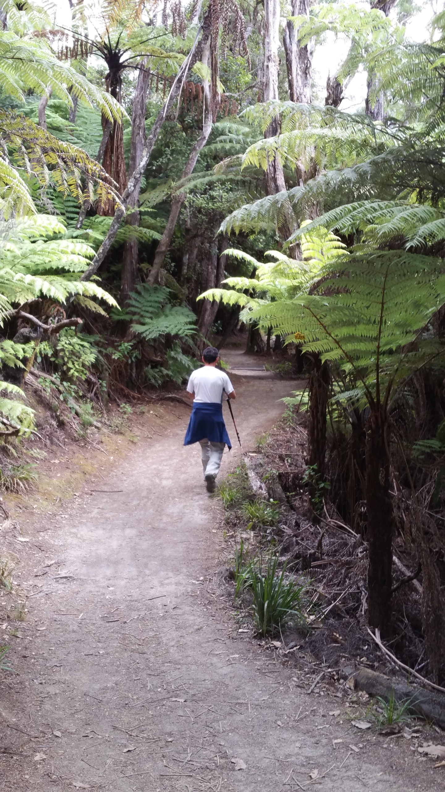
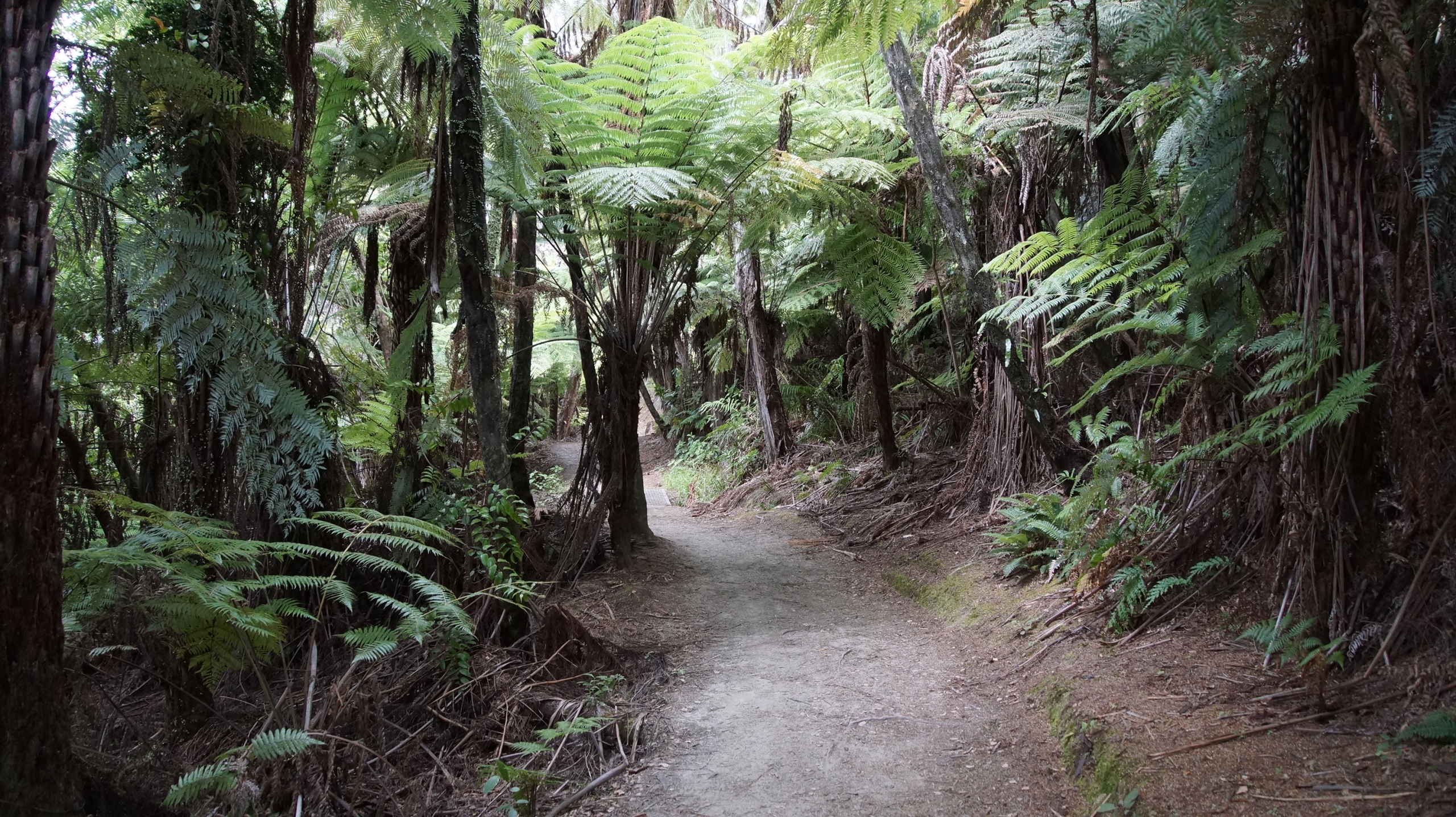
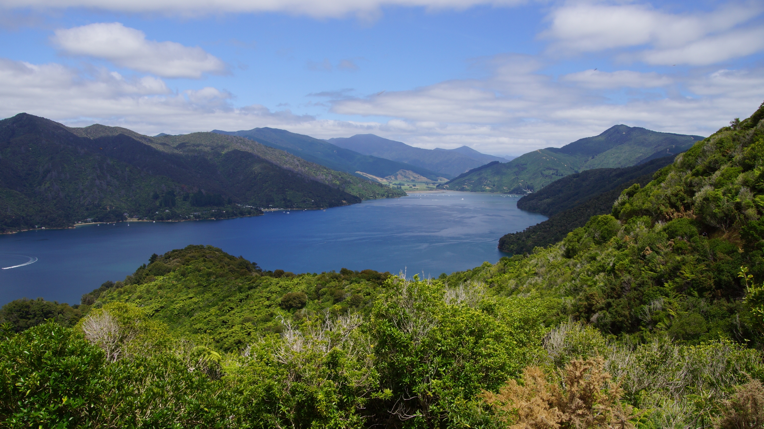
The Queen Charlotte Track is ca. 70 km long an offers gorgeous costal scenery. We walke ca. 12 km return starting from Anakiva. The path goes up an own through a farn forest an at each corner there is another majestic view of the sea an the mountains. Afterwards we went to the beach an had a wonderful swim in the sea.
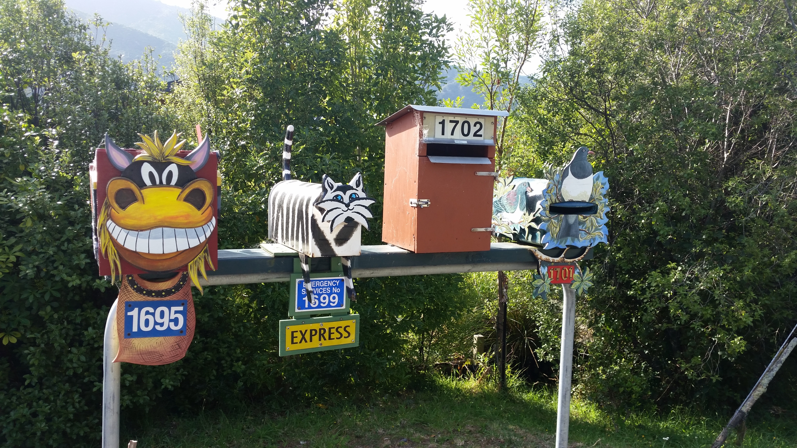
Next ay we took the Beachcomber Cruise mail boat that delivers mail and groceries to isolated homesteads nestled in secluded bays, each property only getting one delivery per week. Loved the dogs popping along with their owners to collect the mail for the homes in that place. And the weather was gloriously clear and sunny!
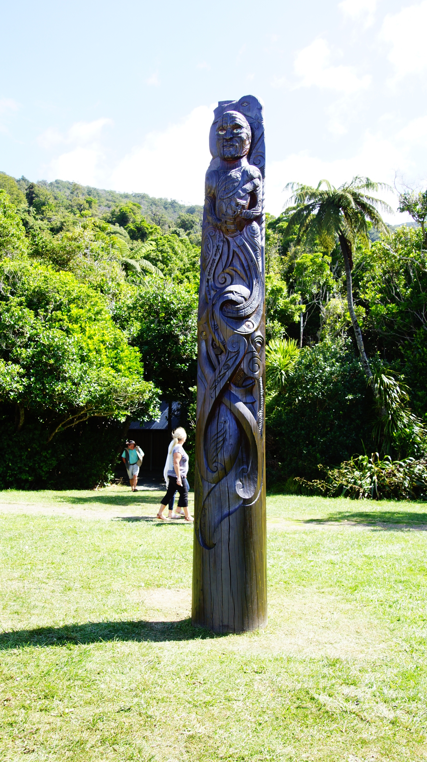
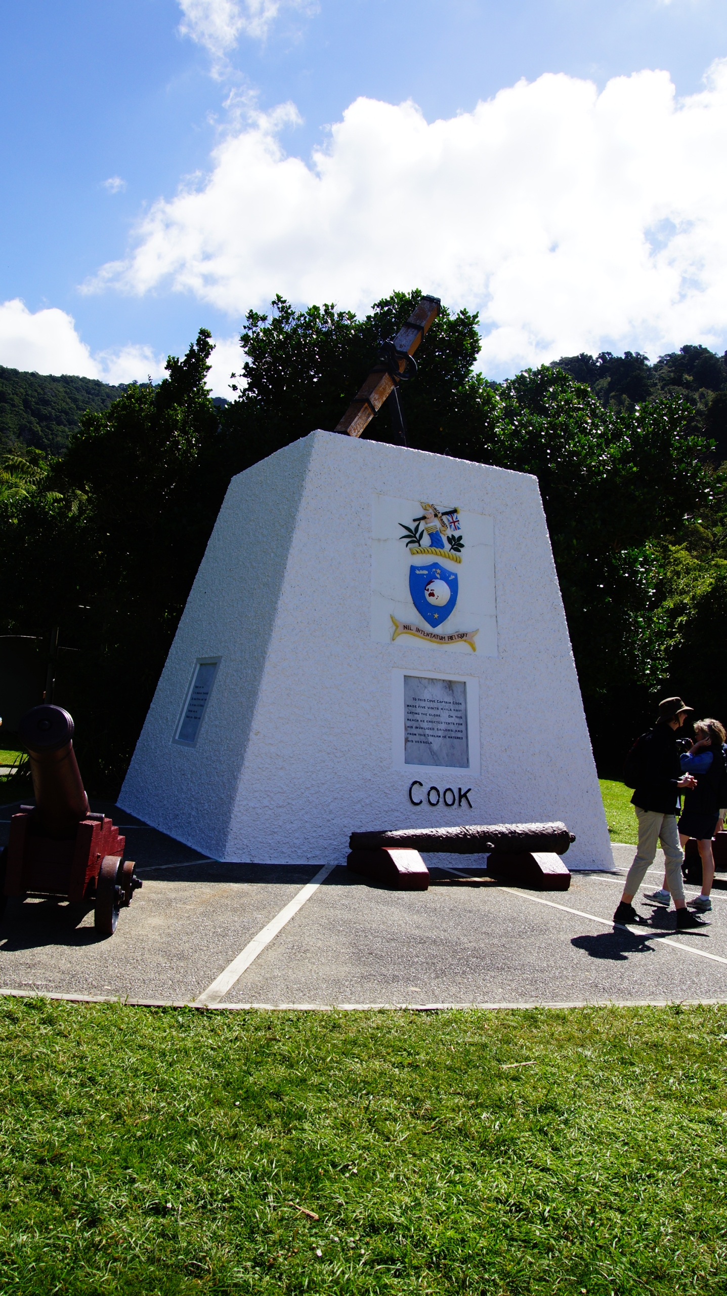
Next day we took the Beachcomber Cruise mail boat that delivers mail and groceries to isolated homesteads nestled in secluded bays, each property only getting one delivery per week. Loved the dogs popping along with their owners to collect the mail for the homes in that place. And the weather was gloriously clear and sunny! A real highlight was the 15-minute stop at Ship’s Cove. Ship Cove was named by Captain James Cook in 1770 when his ship The Endeavour anchored here and is also the starting point of the Queen Charlotte Track. Wonderful!
On Feb 9 we took the Interislander ferry towards Wellington.

